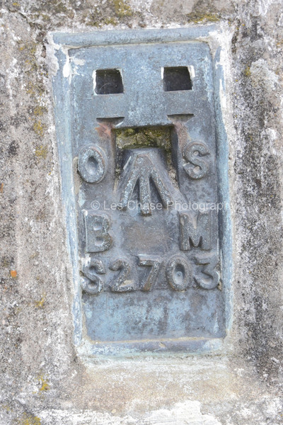
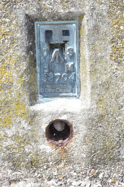
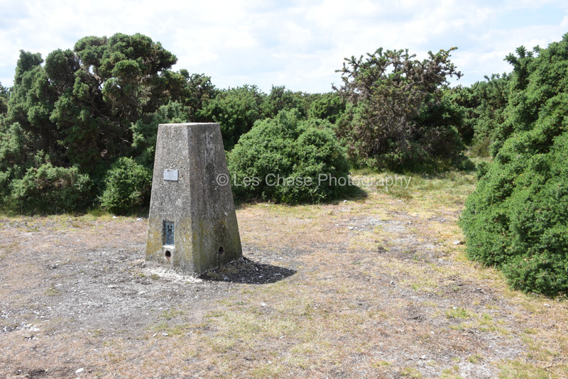
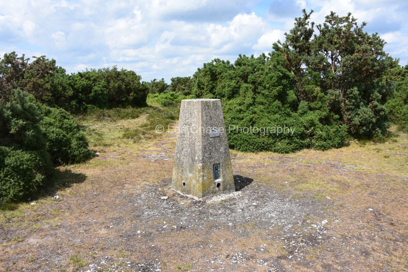
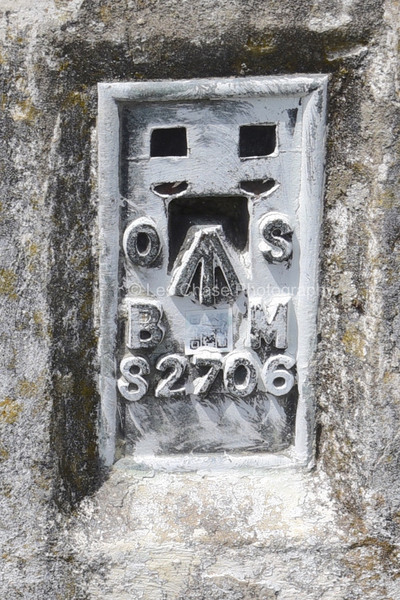
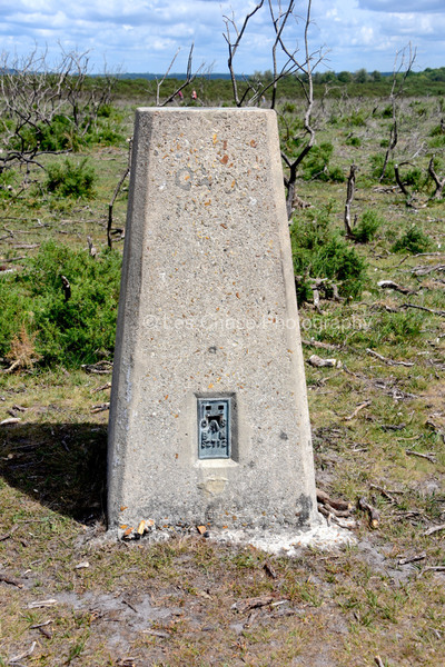
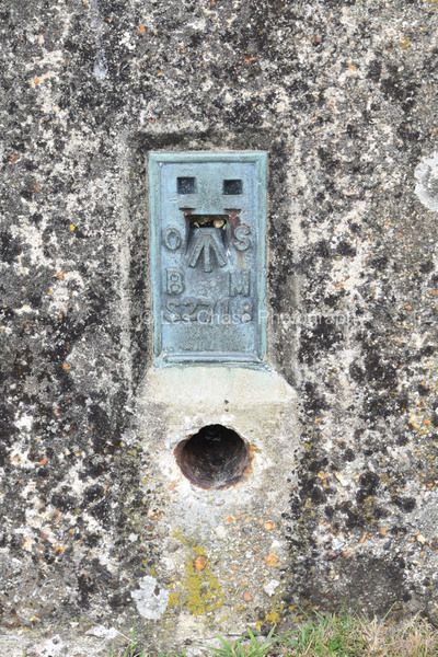
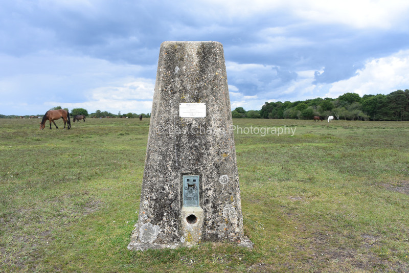
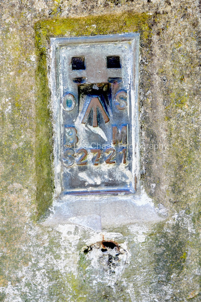
Ordnance Survey New Forest Height Benchmarks
I have managed to locate 9 New Forest Benchmarker Posts plus one at Stagbury Hill Furzley Lane near Bramashw.
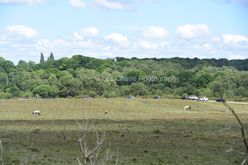
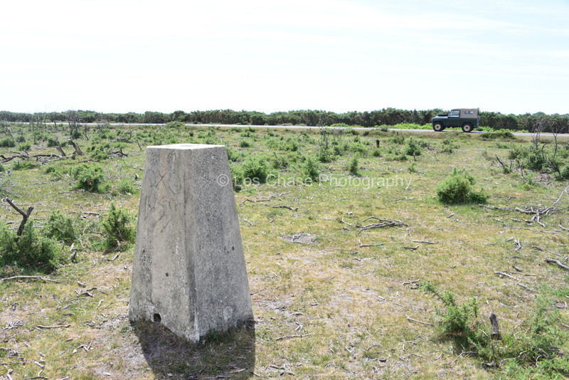
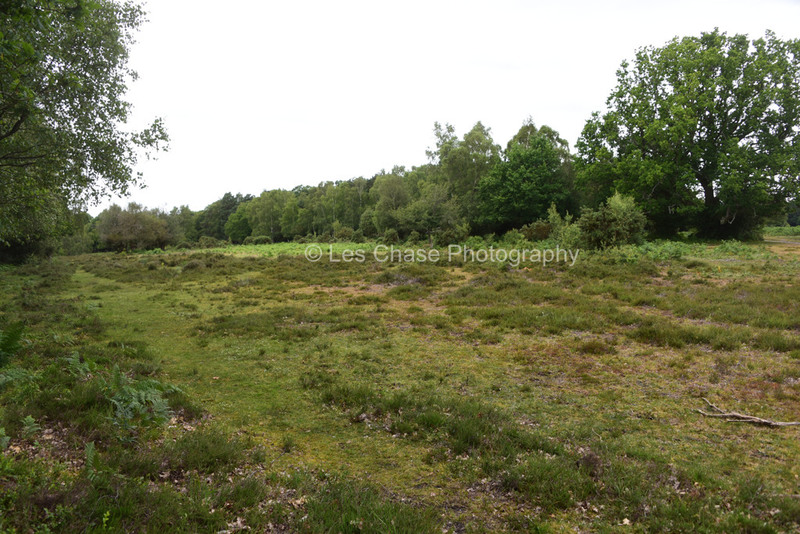
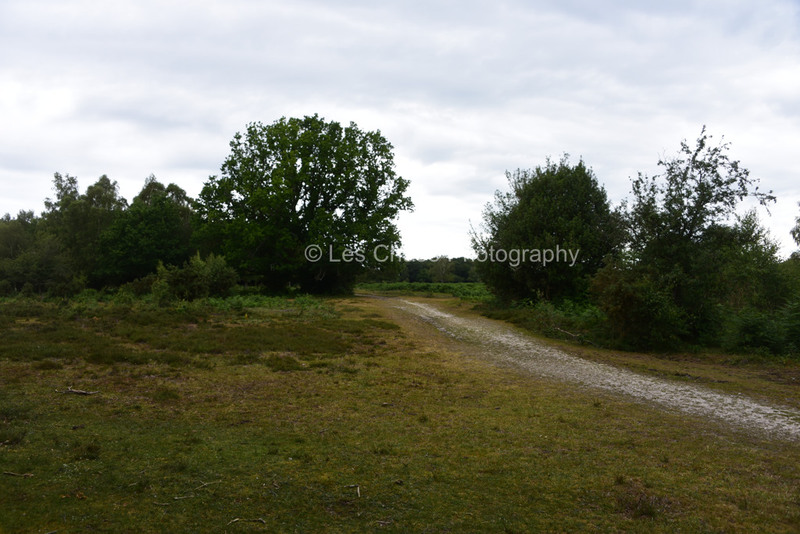
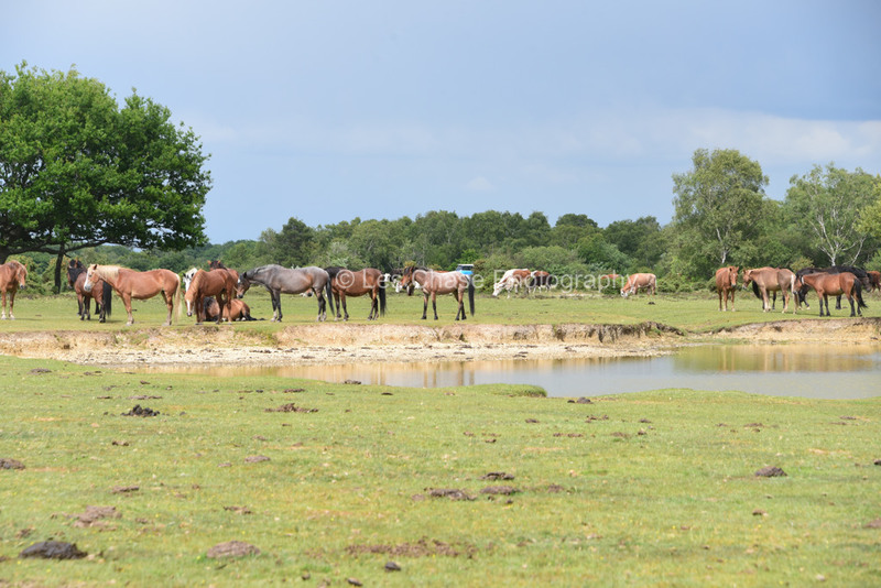
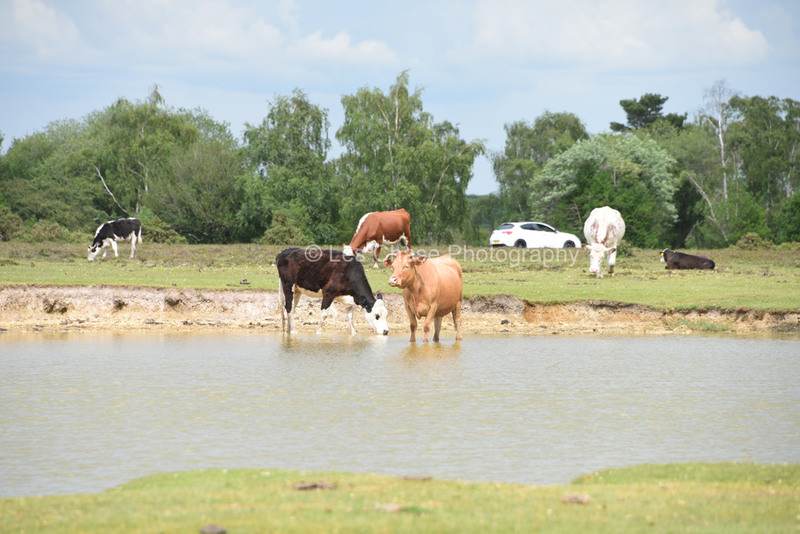
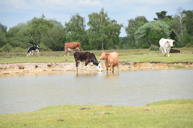
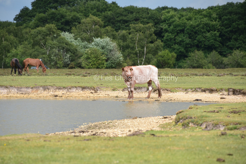
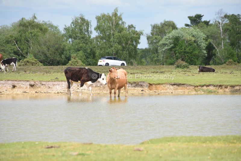
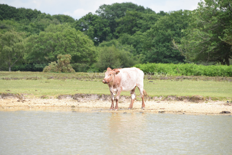
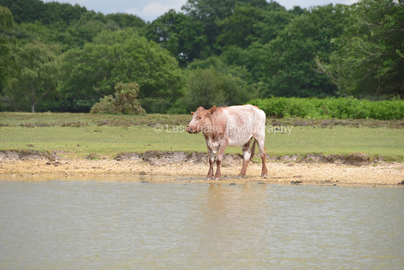
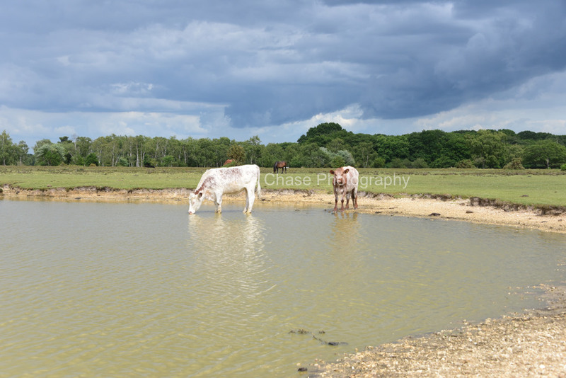
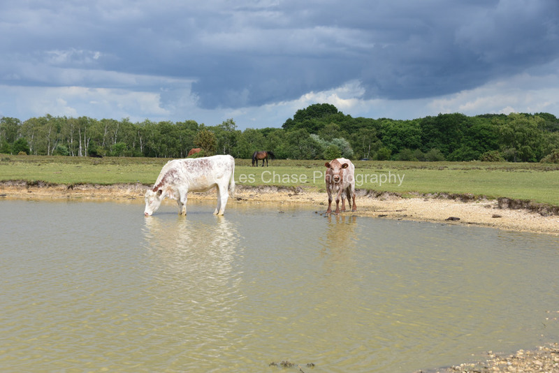
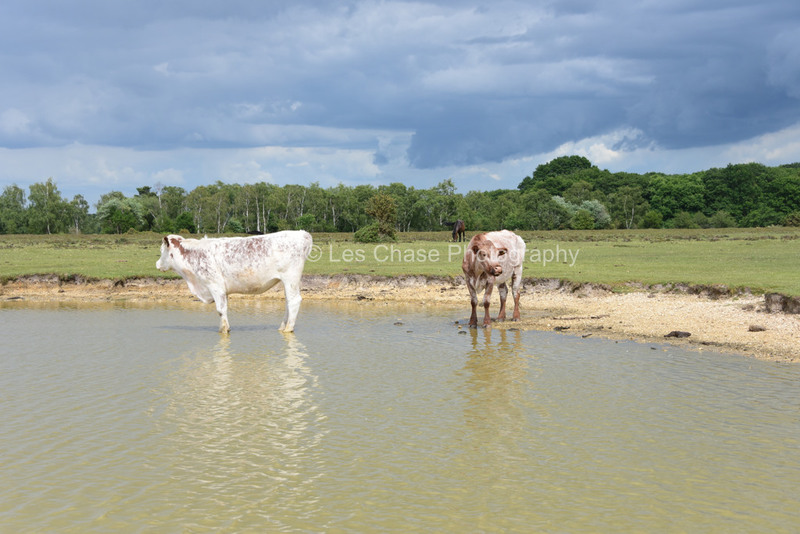
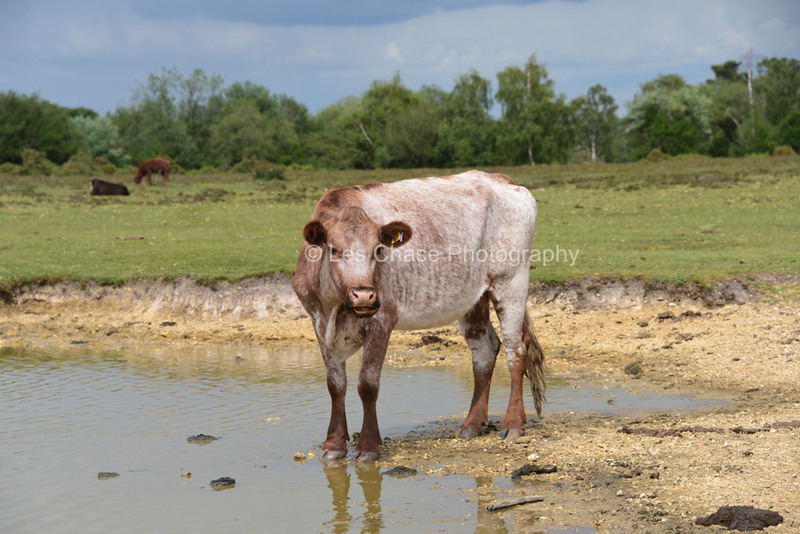
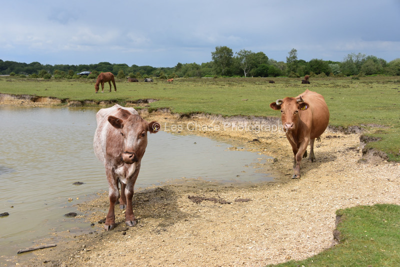
All 10 are with in the cattle grid system of the New Forest where Horses and Cattle can roam.
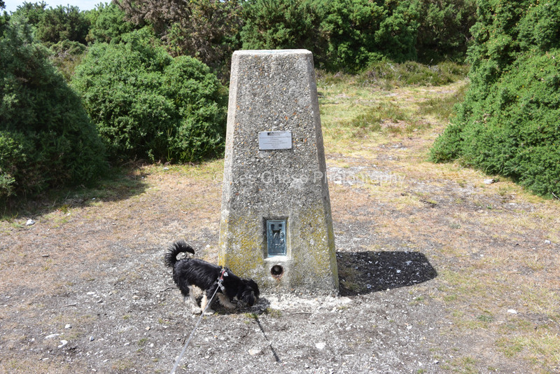
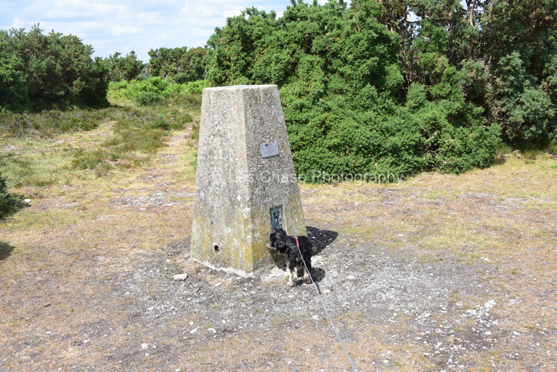
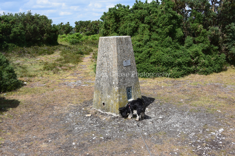
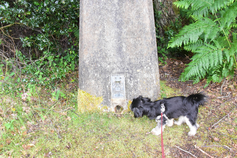
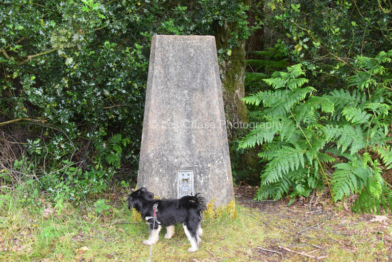
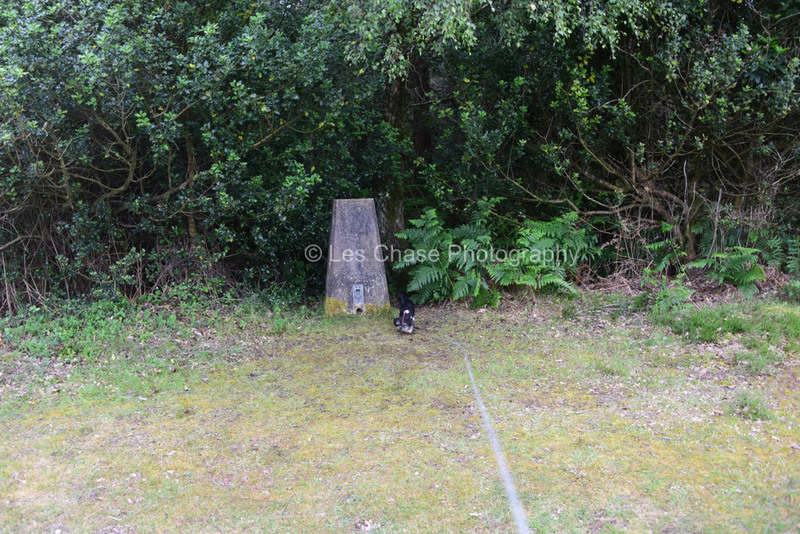
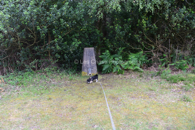
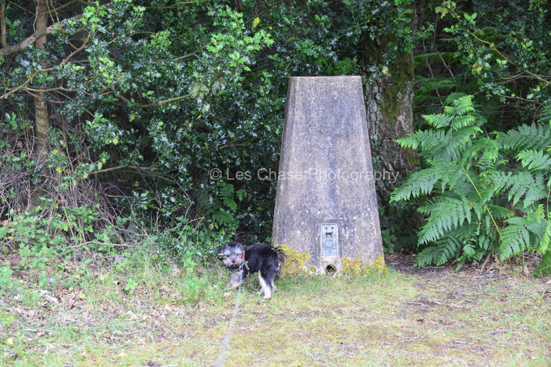
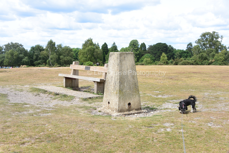
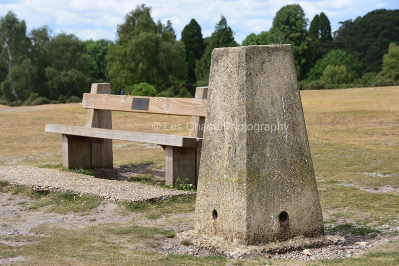
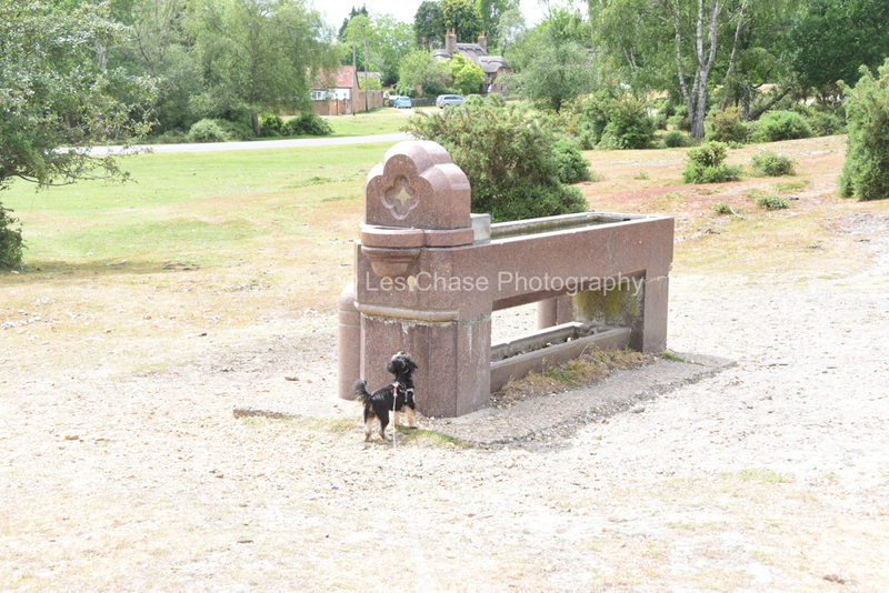
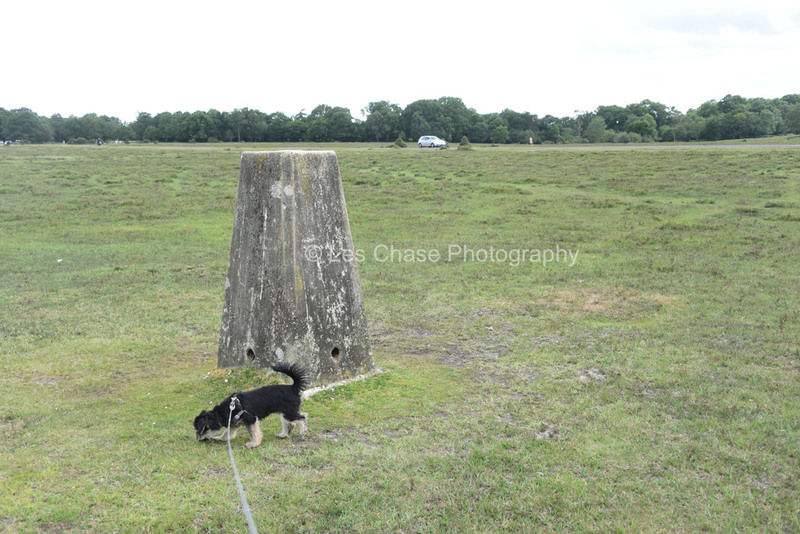
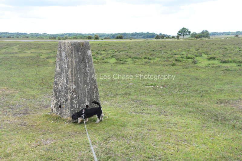
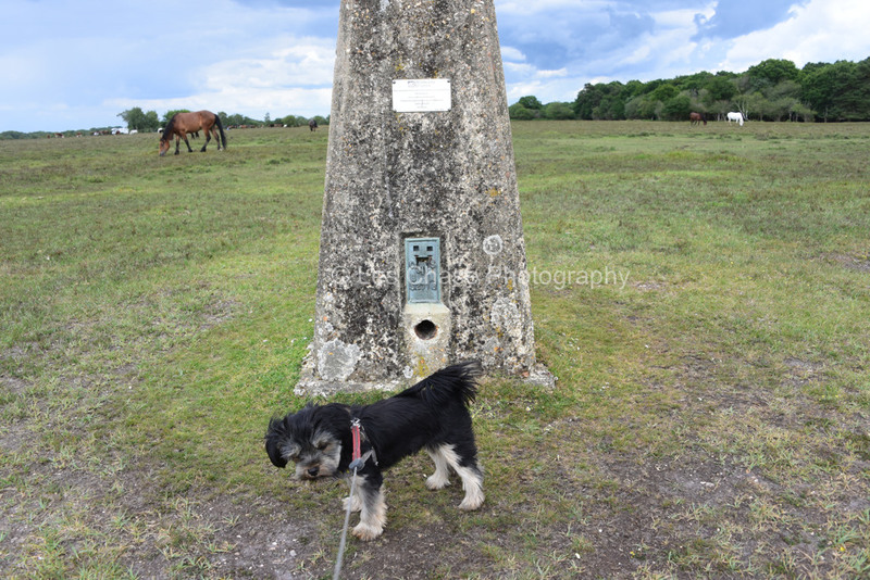
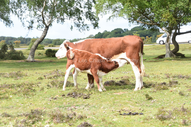
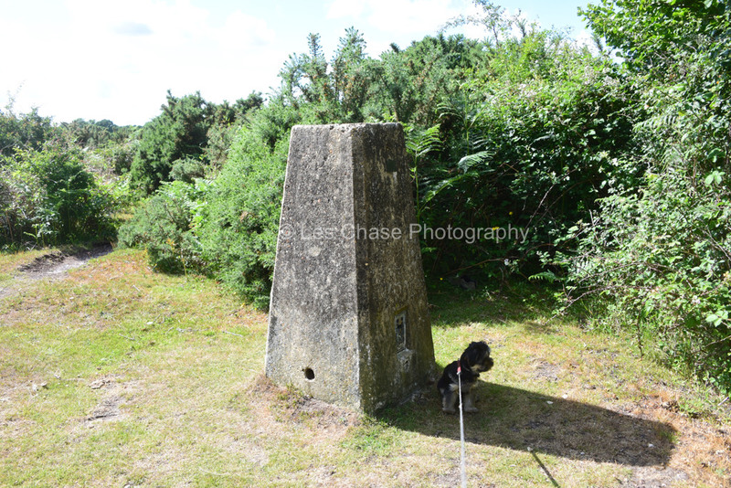
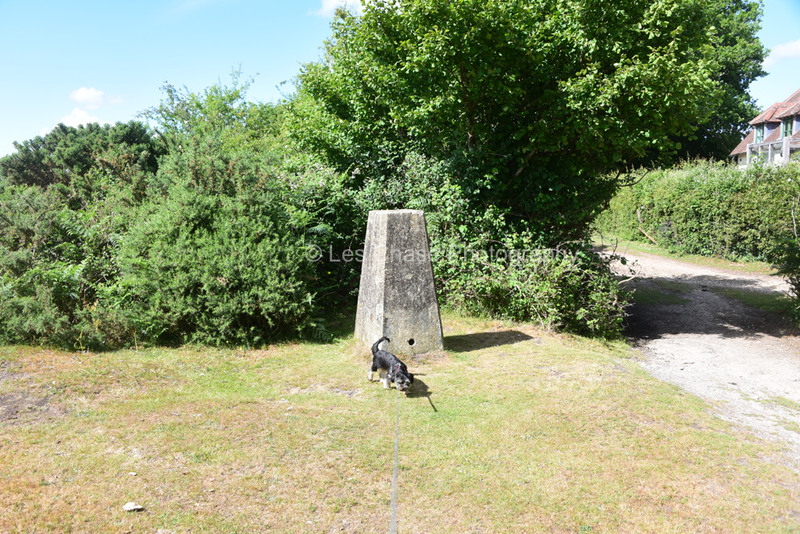
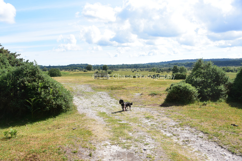
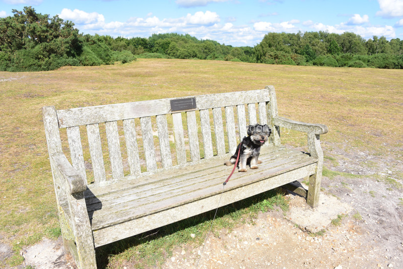
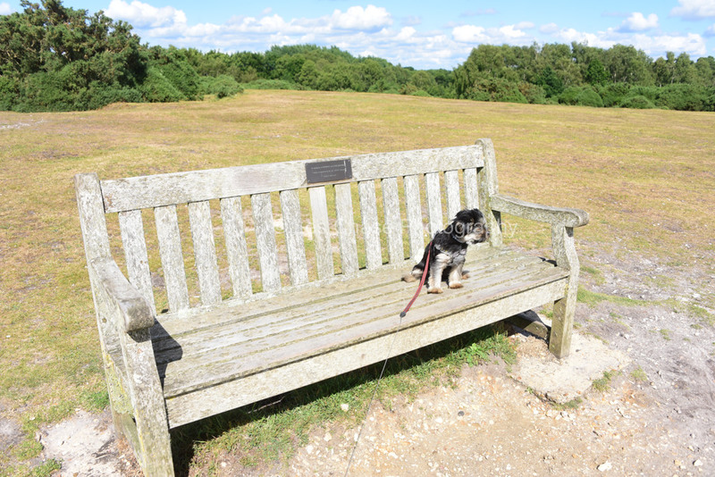
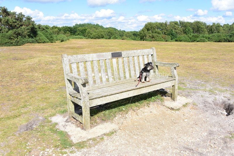
As one will see, I have found the inspiration to locate these after travelling past the Longslade Sway Benchmarker a number of times towalk my 5 month old puppy Jemma. Jemma has checked out a number of posts, and enjoyed the views of the Forest whilst looking for the Benchmarkers
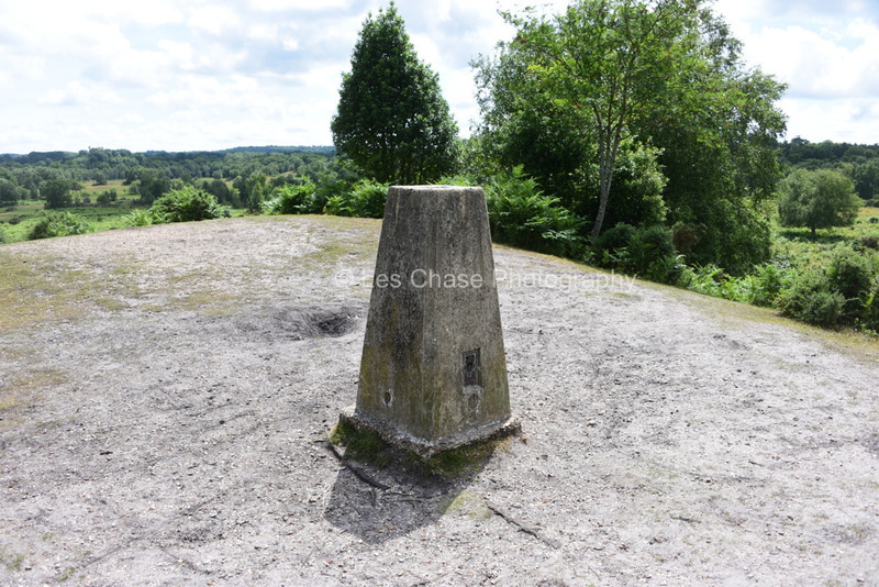
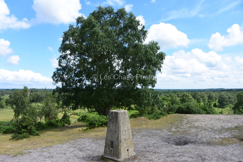
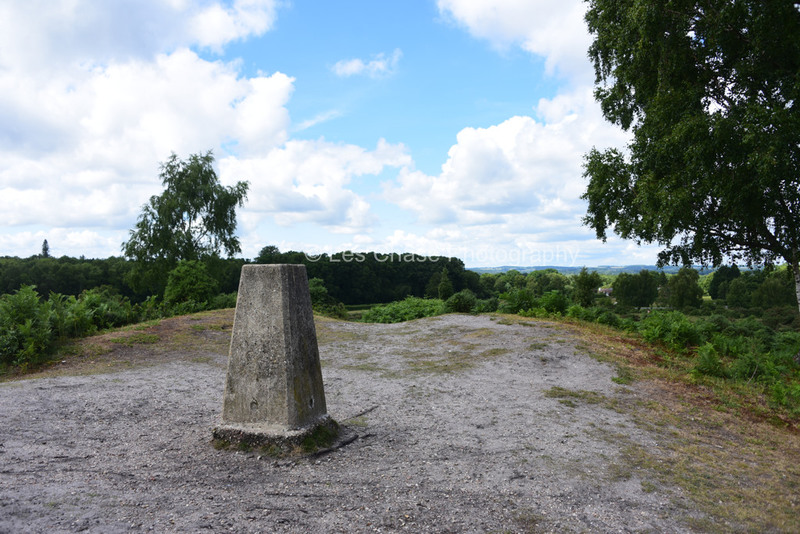
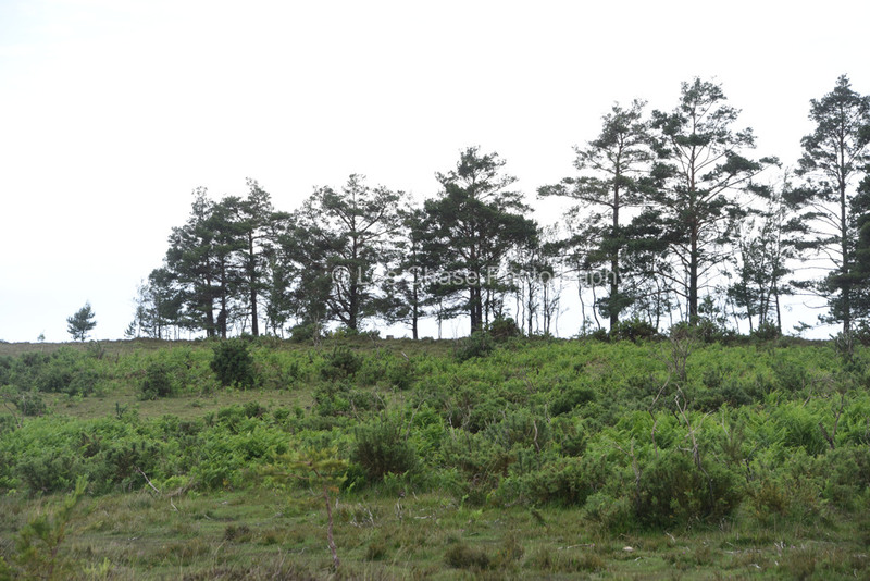
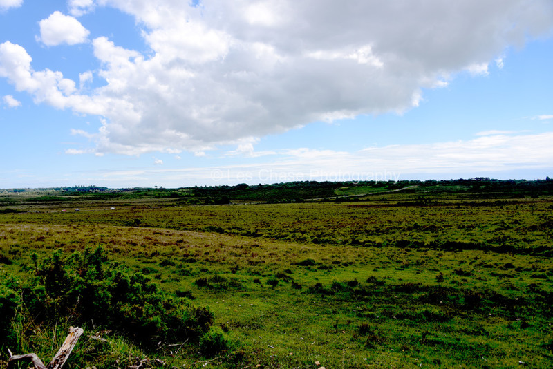
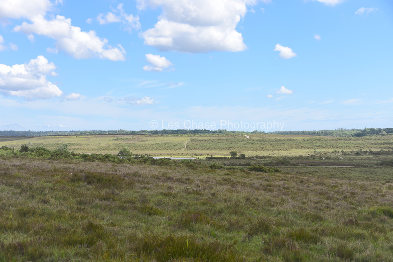
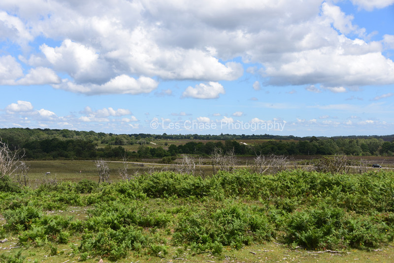
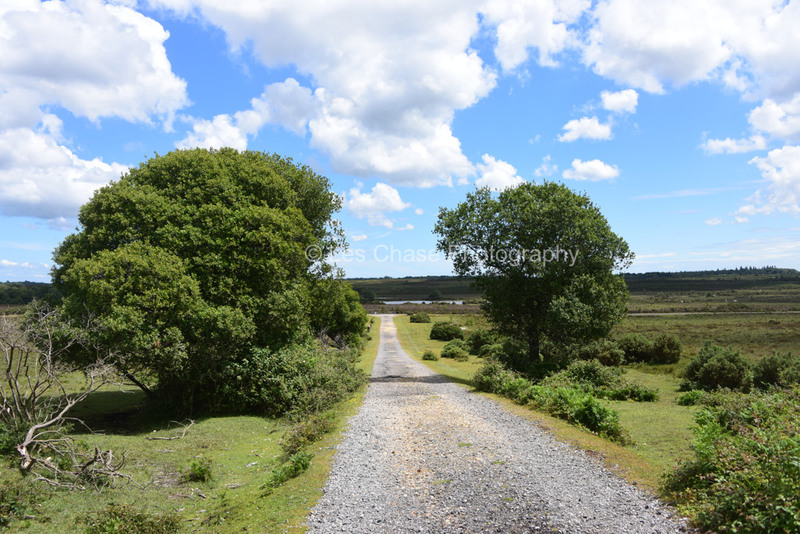
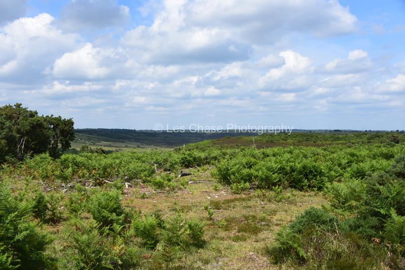
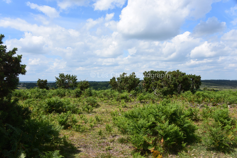
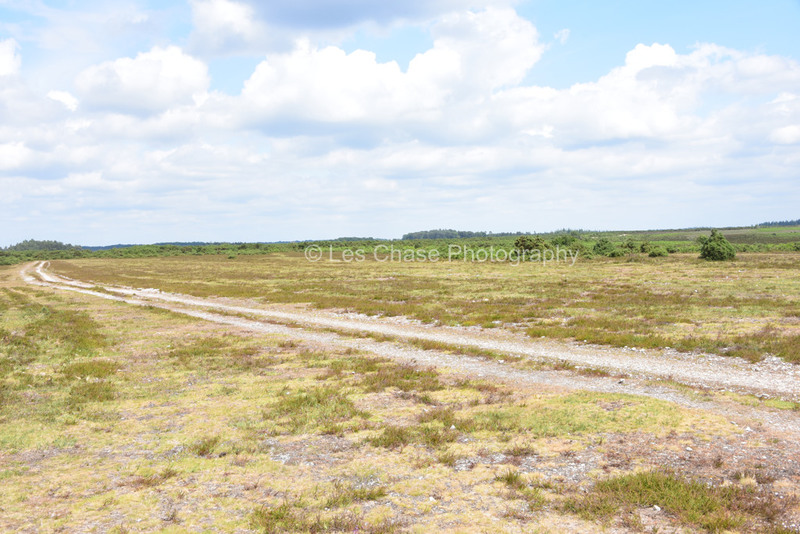
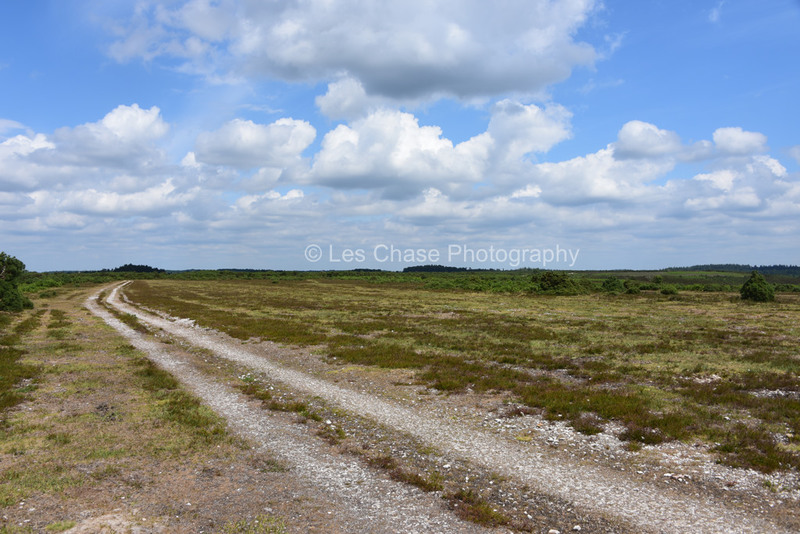
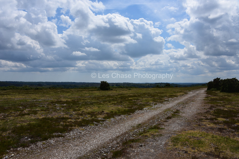
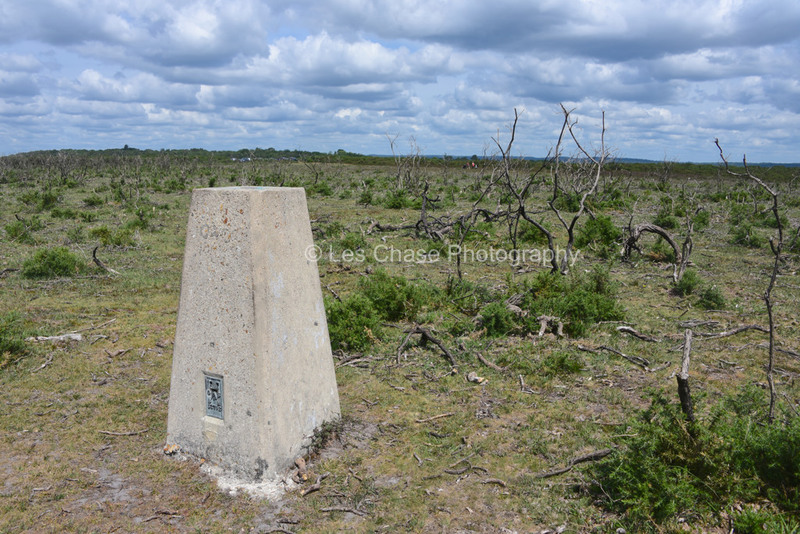
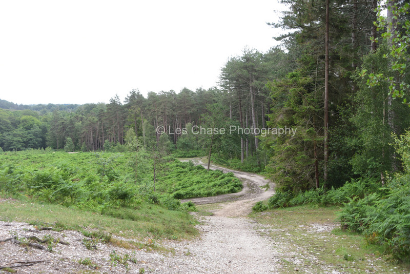
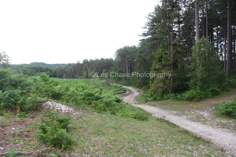
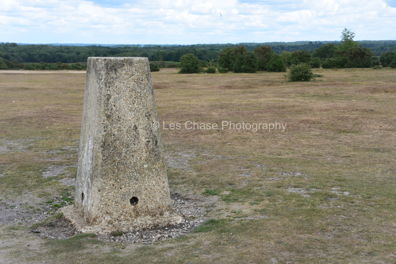
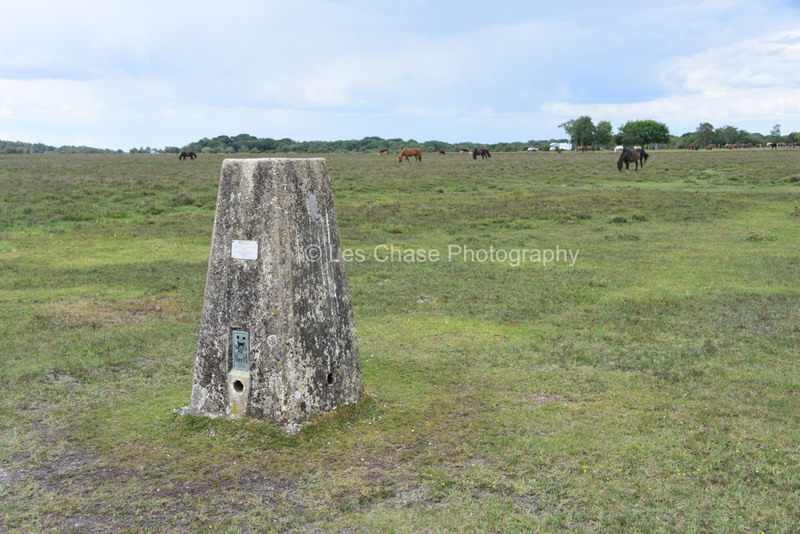
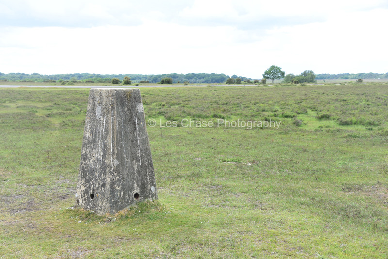
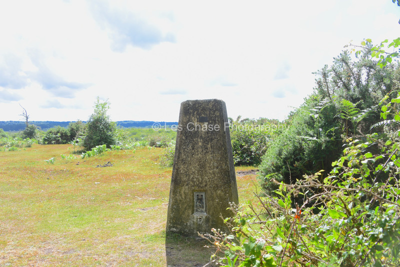
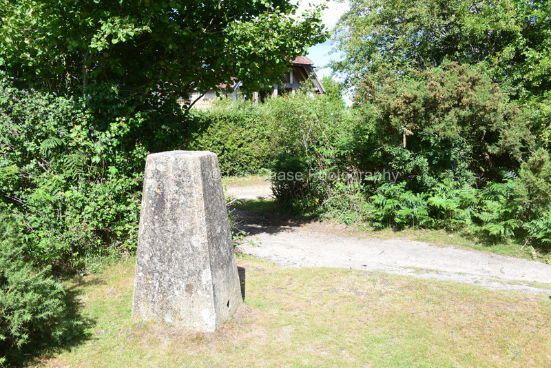
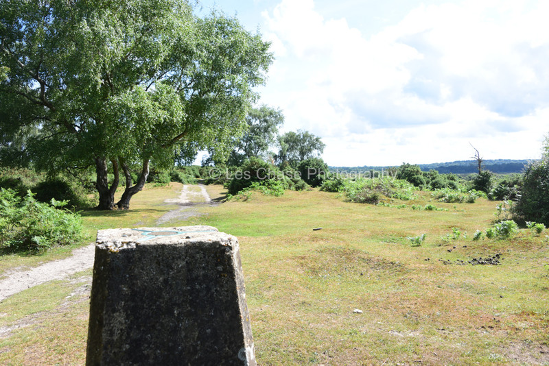
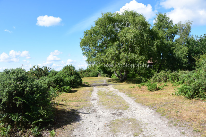
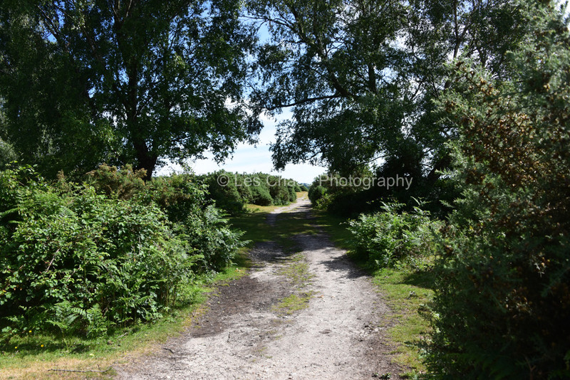
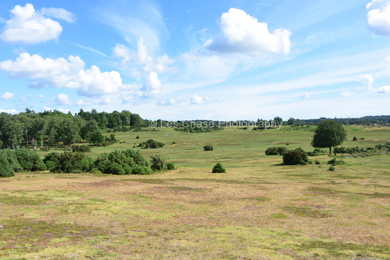
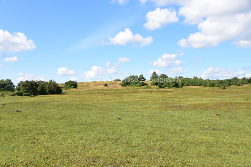
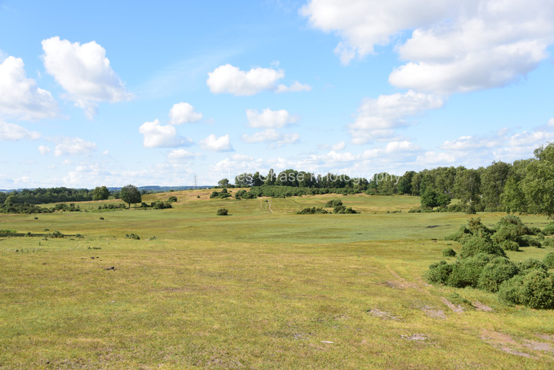
Most are high up and at the tops of hills. I hope you enjoy the pictures. There are more Benchmarkers possibly just outside the Forest boundary, which, I may try to locate.
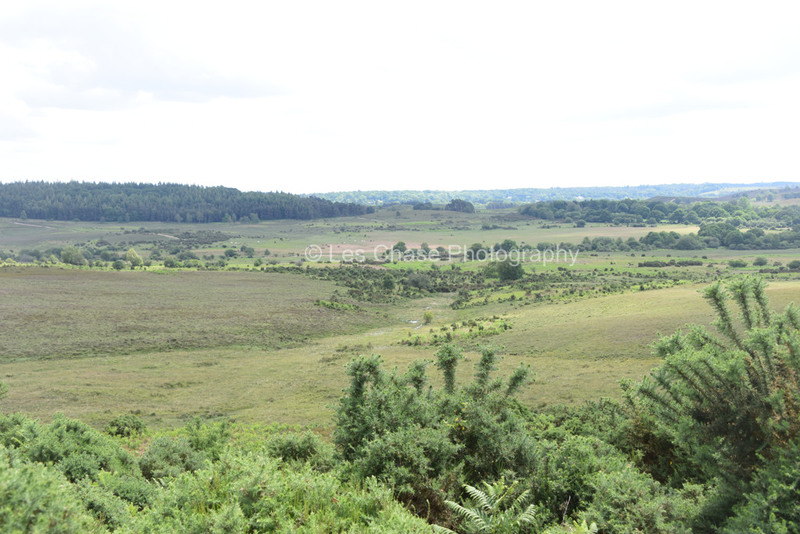
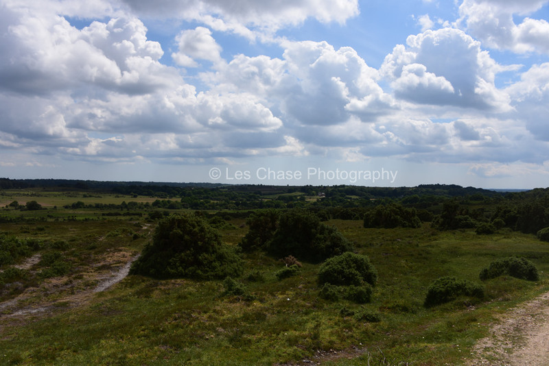
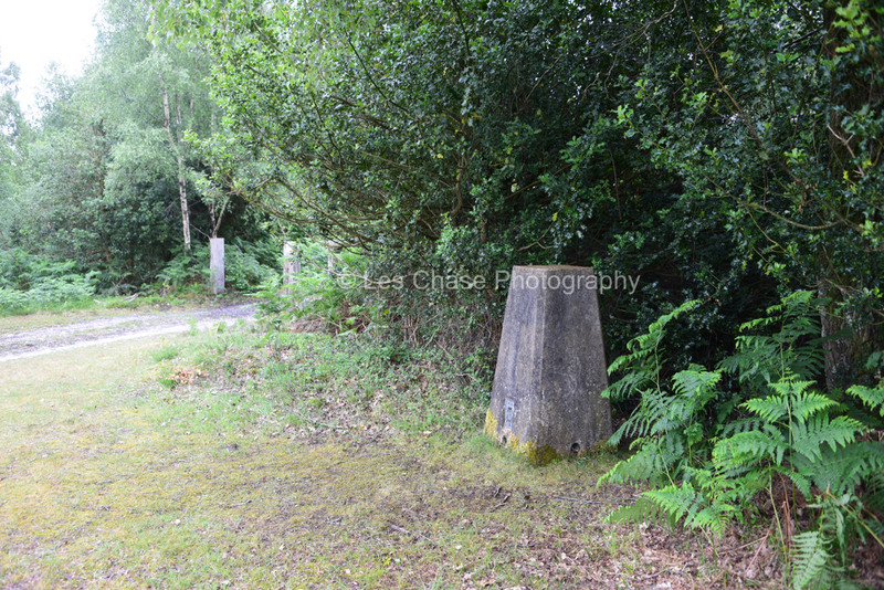
Dur Hill near Homsley New Forest 76 Meters above sea level


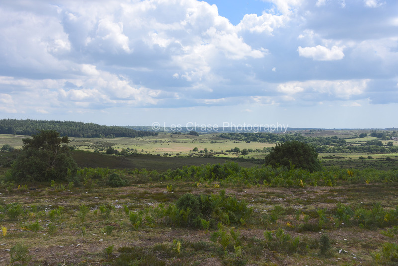
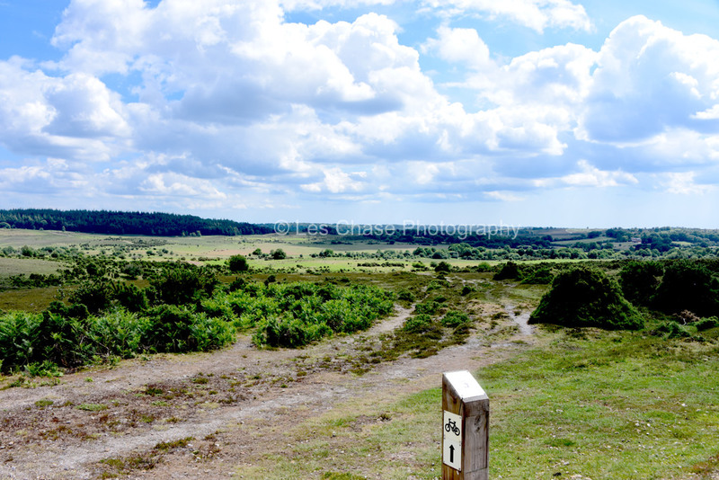
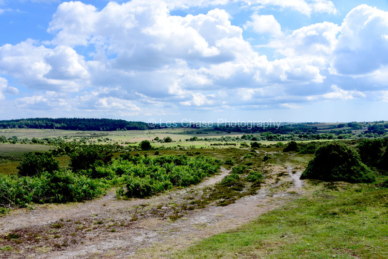
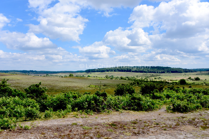
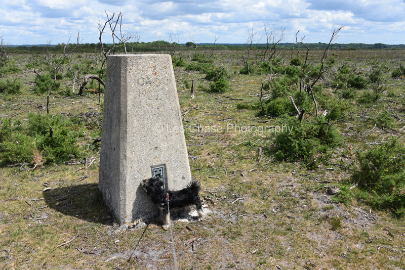
Hampton Ridge near Blissford Frogham Fordingbridge New Forest 100 meters high above sea level

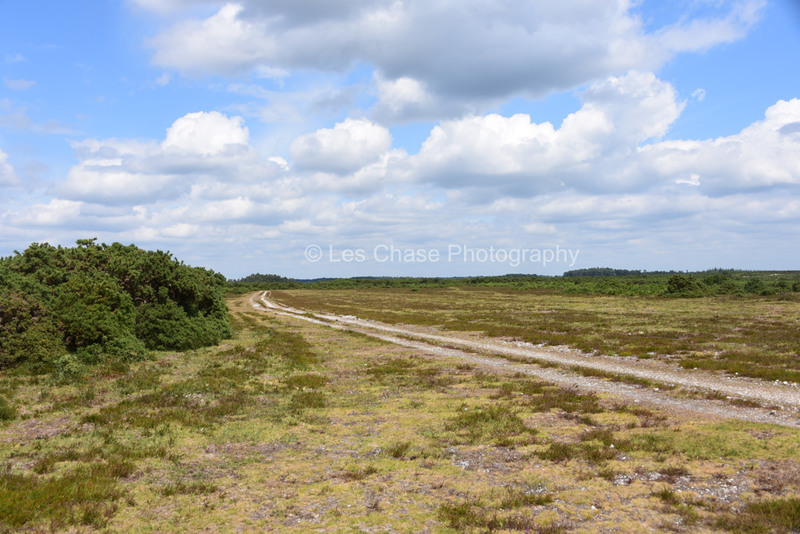


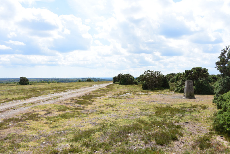
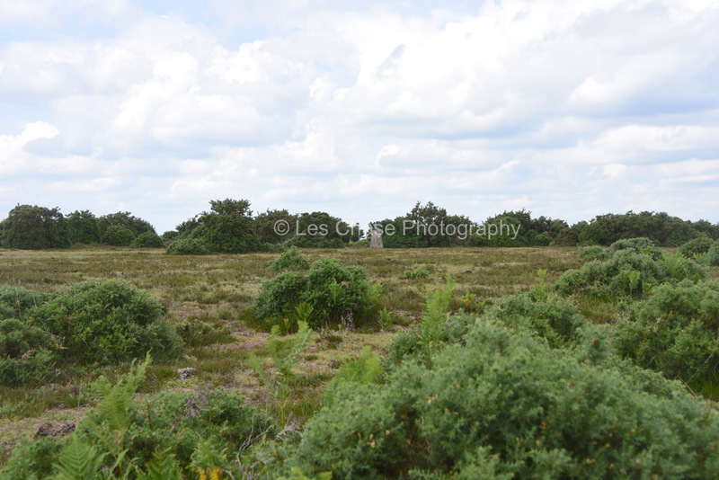


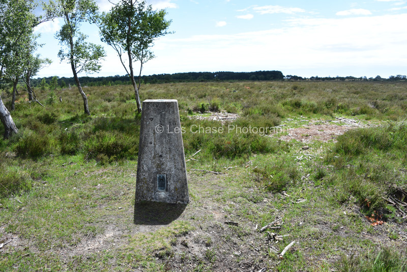
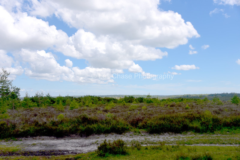
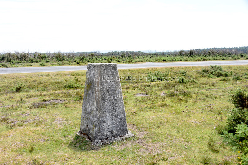
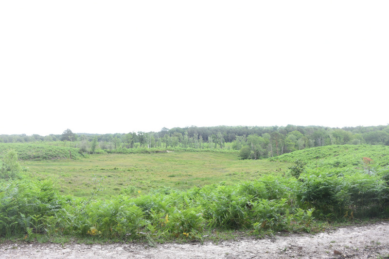
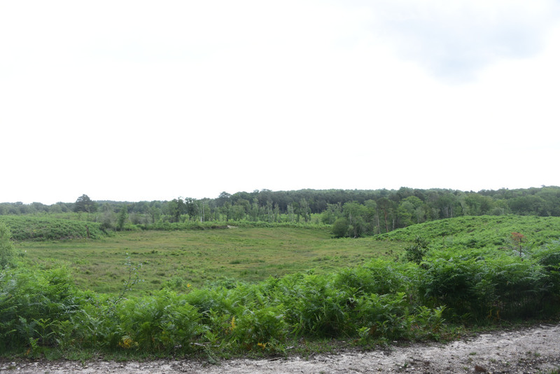
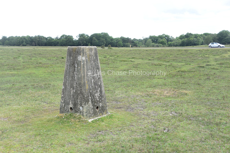
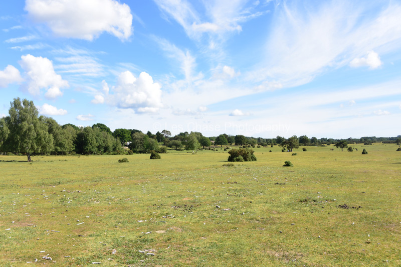
Beaulieu Heath on B3054 near WW2 Airdrome 40 Meters above sea level.
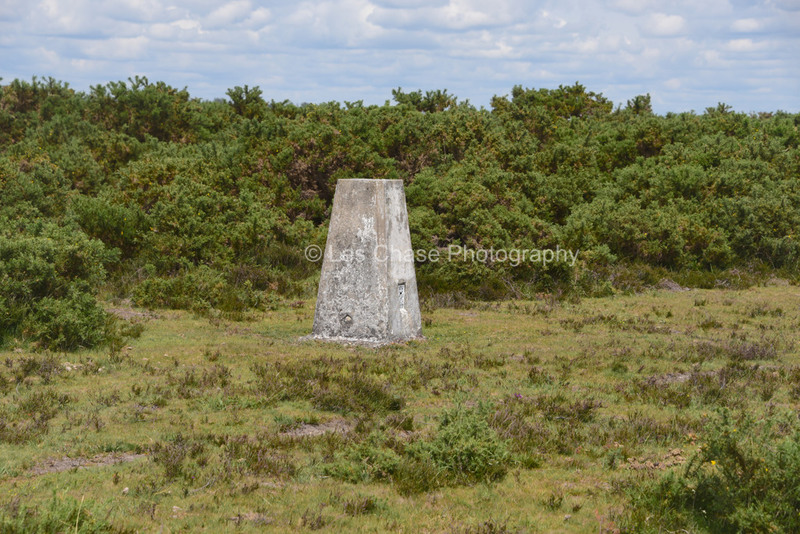
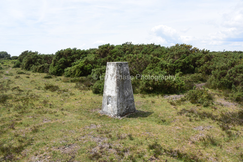
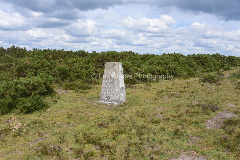

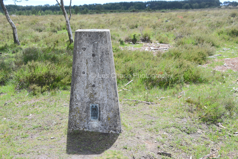
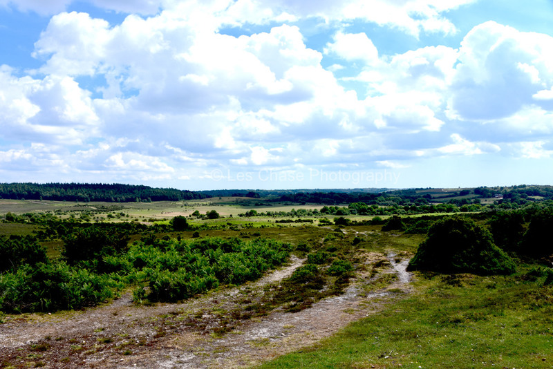
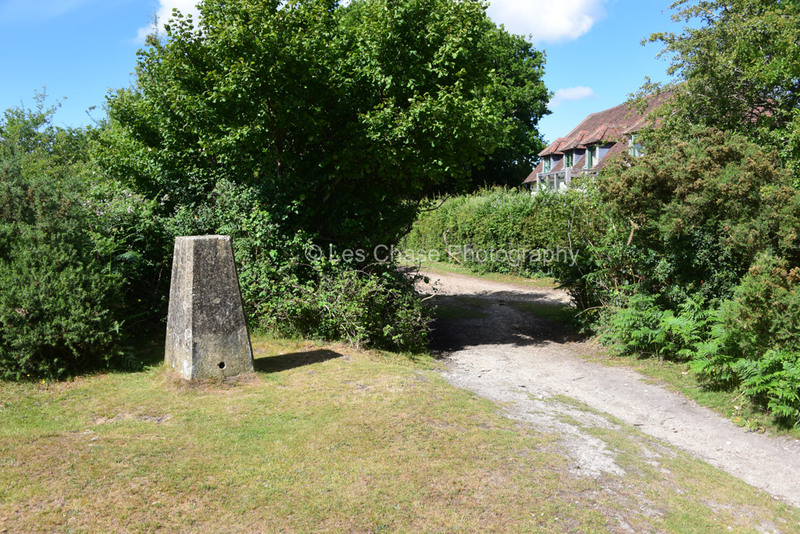
Longslade near Sway New Forest 59 Meters above sea level


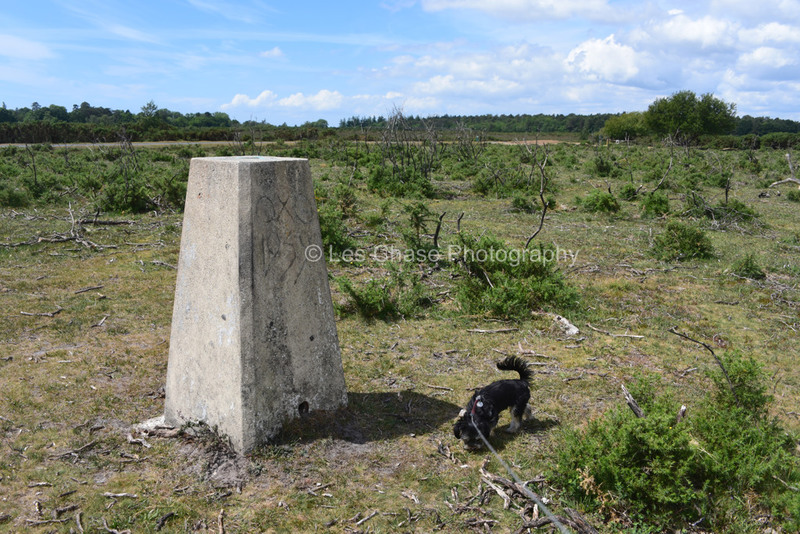
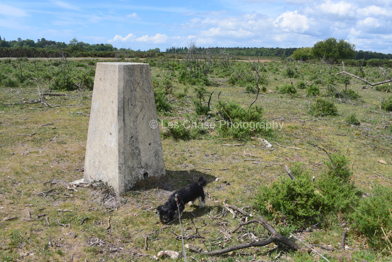
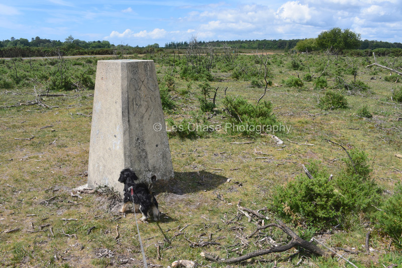


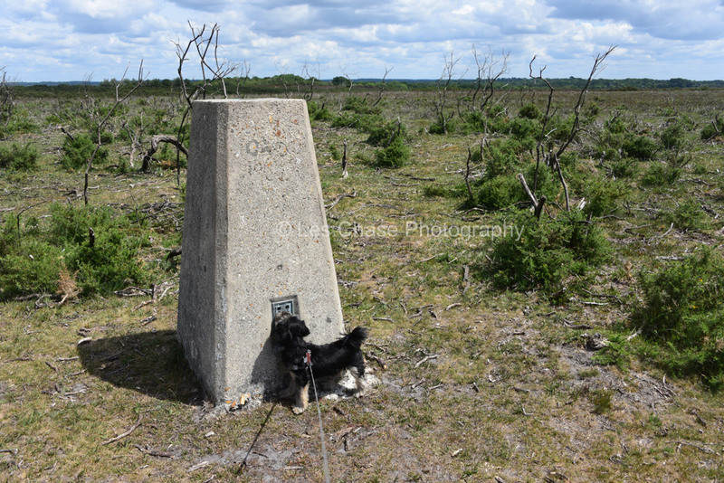
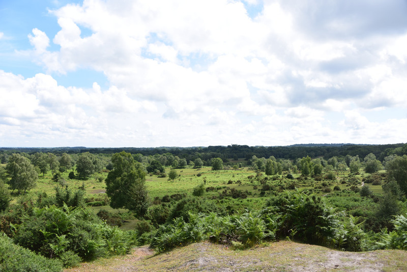
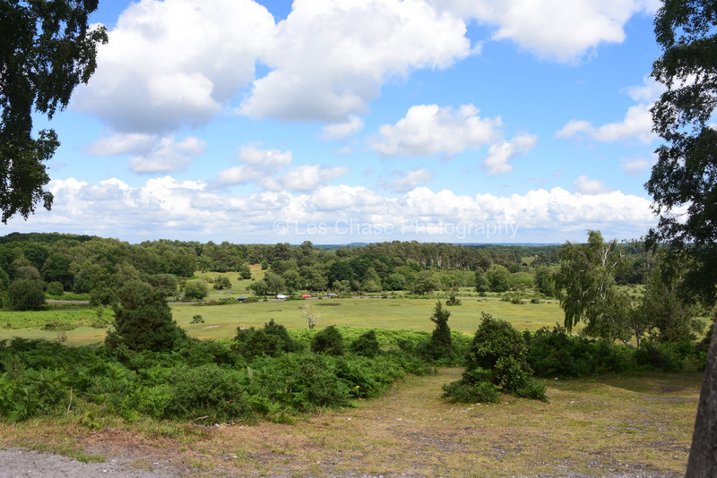
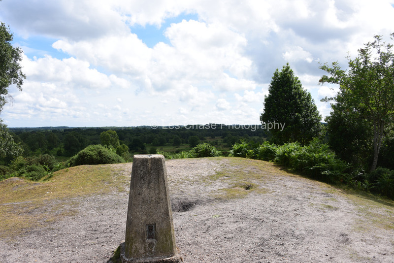
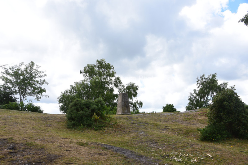
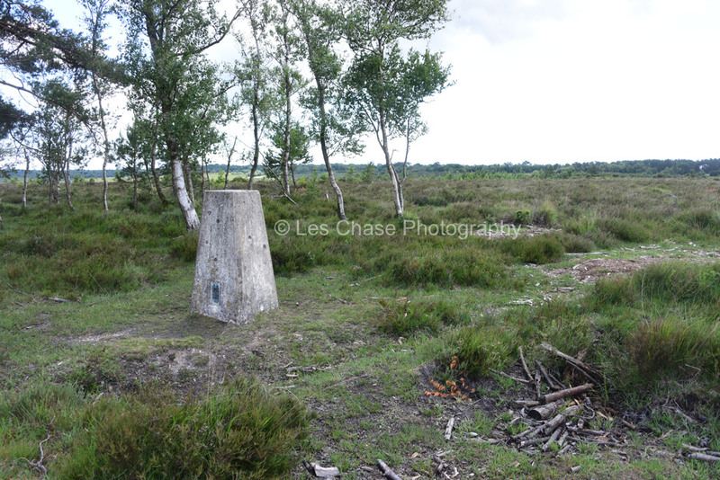
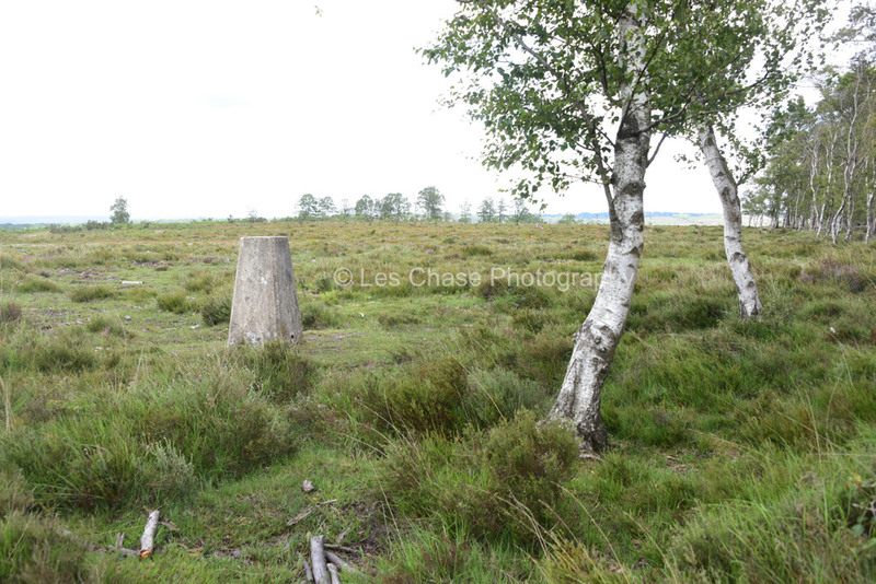
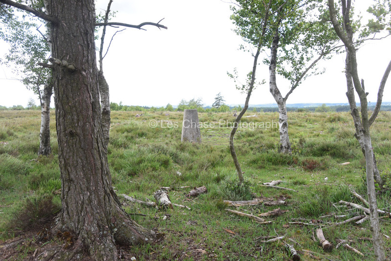
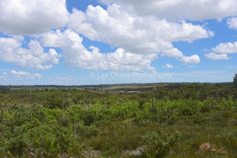
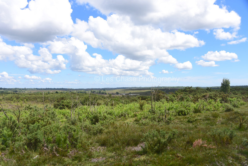
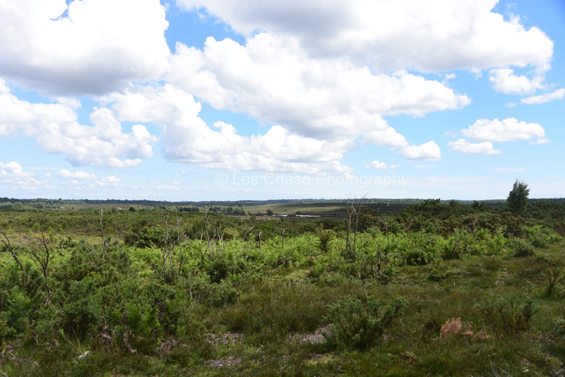
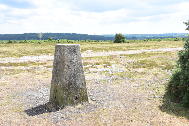
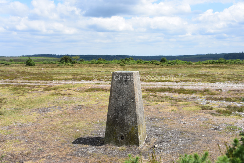
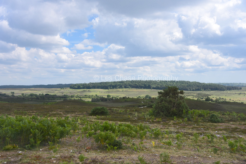
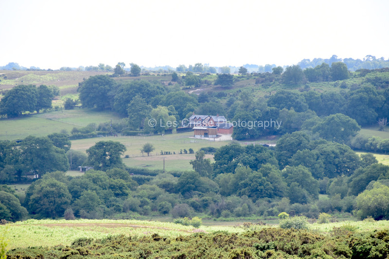
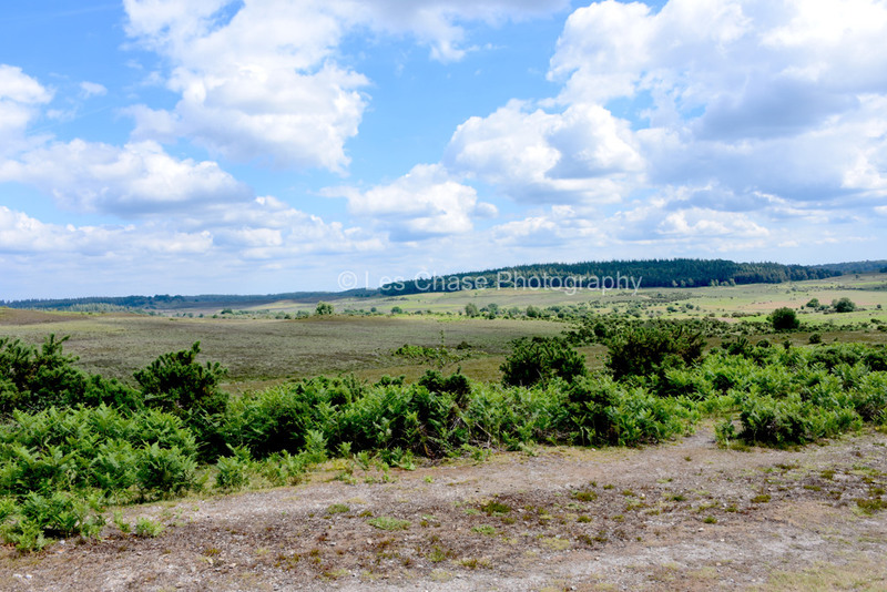
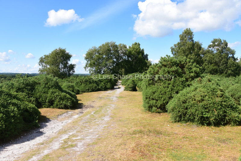
Hart Hill ex Highland Inclosure near Minstead New Forest 105 Meters above sea level


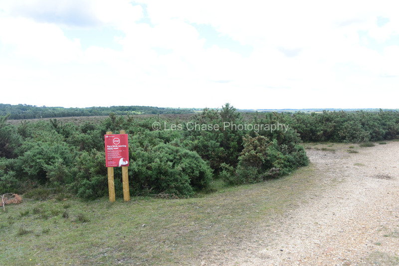
Yew Tree Heath fo follow after the nesting season. No current close car parking close safely.
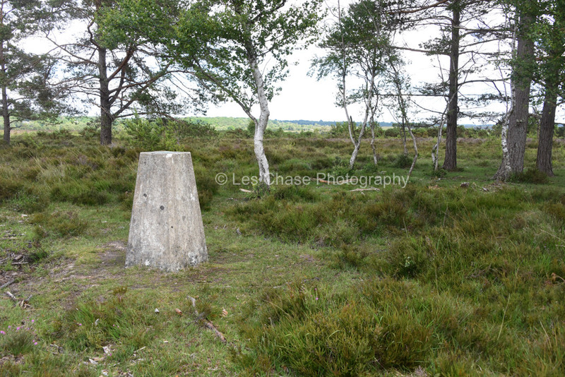
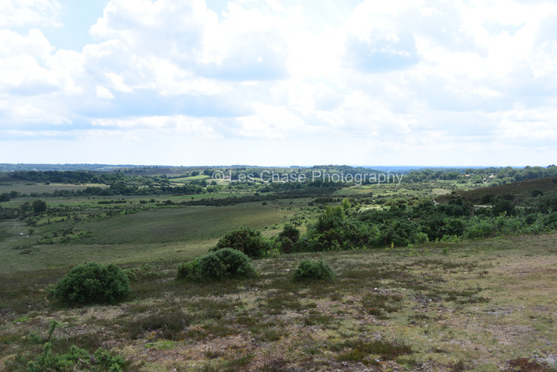
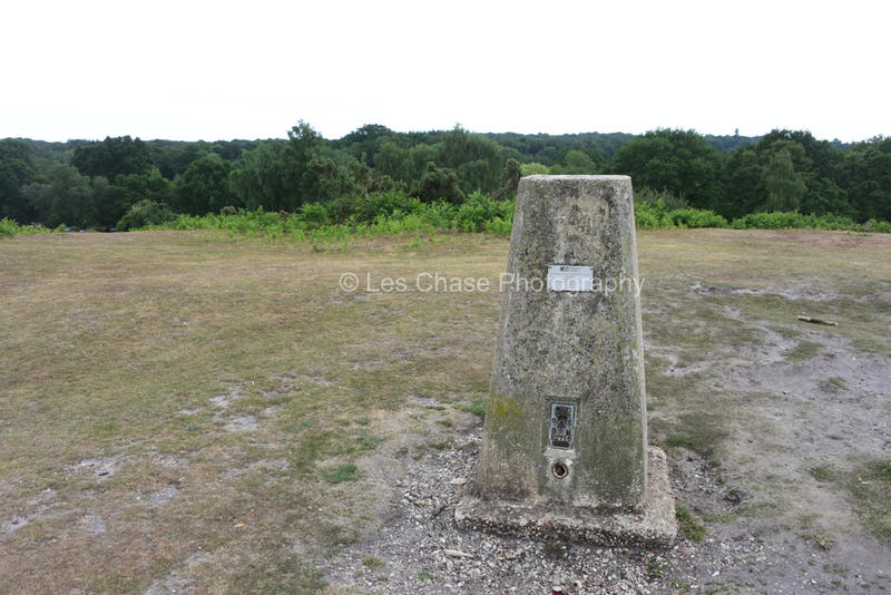
Boltons Bench Lyndhurst near ex gravel sand pit? 50 Meters above sea level
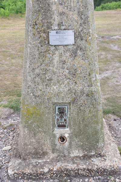
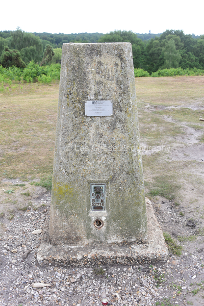


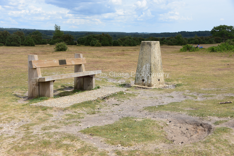
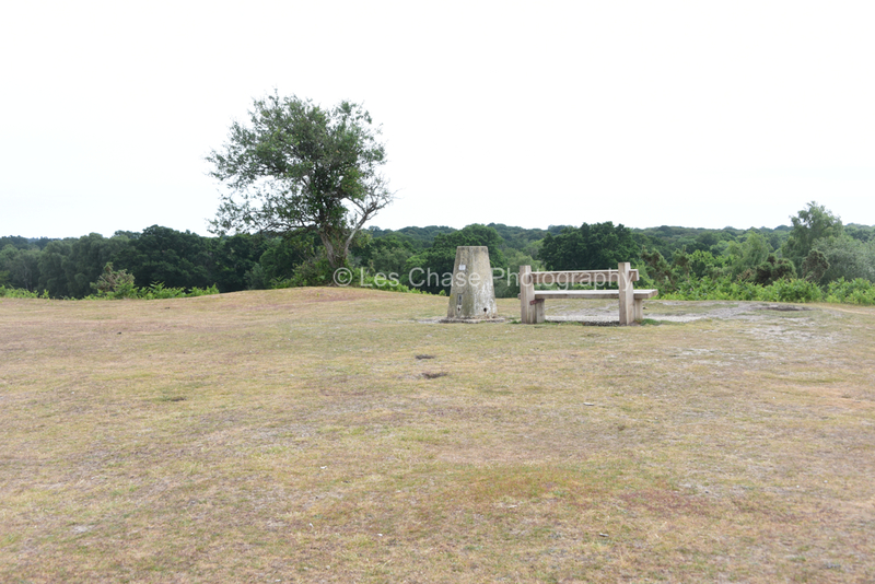


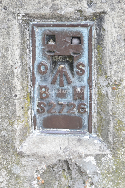
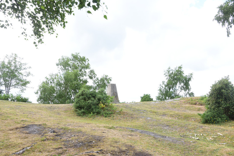
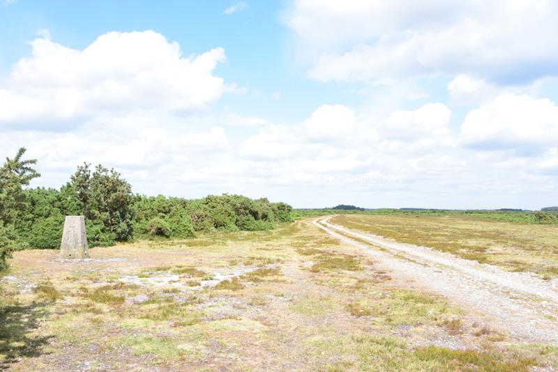
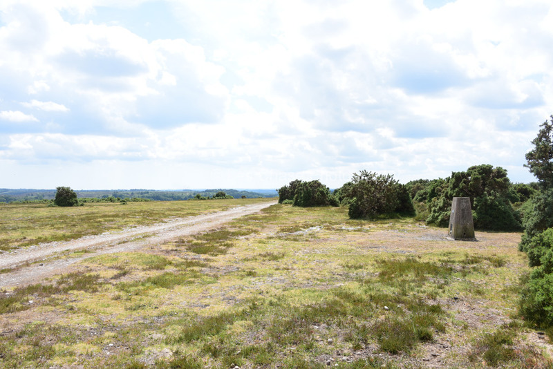
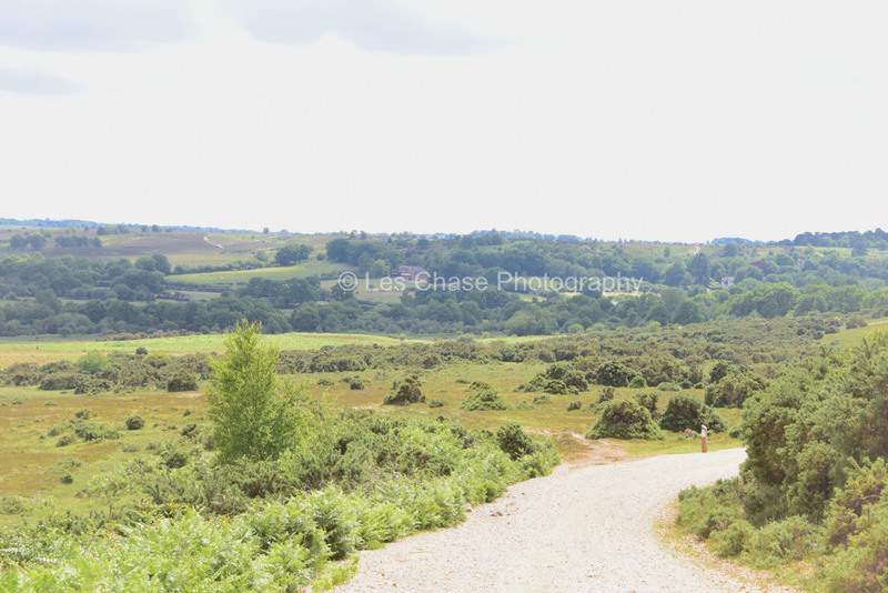
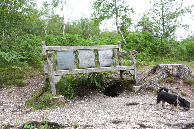
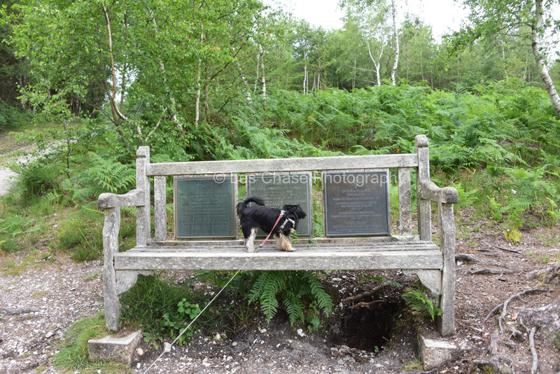
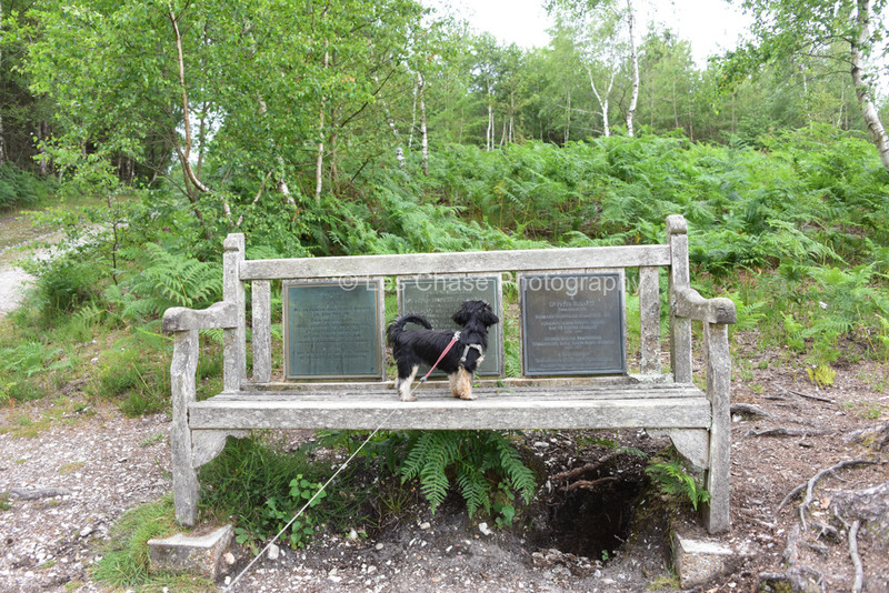
Longcross near Bramshaw. Heighest Benchmark in the New Forest at 125 meters above sea level.


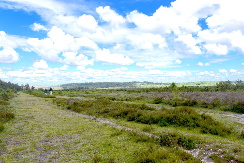
Wellow Plain Canada Common near West Wellow off A36 Main Road 45 Meters above sea level. Captions to follow.


Stagbury Hill Furzley Lane near Bramshaw Penn Common area. This Benchmark is inside the New Forest Cattle Grid system, but outside the New Forest, and the land is owned by the National Trust. These pictures are currently "NOT FOR SALE" due to National Trust restrictions. Site is 60 Meters above sea level. Captions to follow